|
9 July 2021
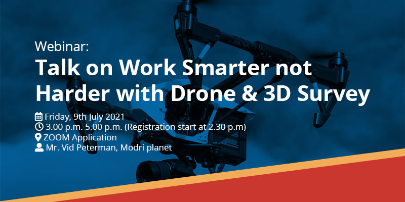
Webinar: Talk on Work Smarter not Harder with Drone & 3D Survey

Date: Friday, 9th July 2021
Time: 3.00 p.m. 5.00 p.m. (Registration start at 2.30 p.m)
Venue: ZOOM Application
Speaker: Mr. Vid Peterman, Modri planet
Synopsis
We are living in a new norm where physically to be present in a work site can be a challenge due to all kind of restrictions since the pandemic. Data captured from UAV’s has been in the industry for a while now, but a key part of any new technology is how to use it effectively that will benefit all the key stakeholders. In this webinar, the topics include below:
- Topographic mapping. Using UAVs for this purpose dramatically reduces field time, increases details of the terrain captured, while maintaining a survey accuracy. Most organizations have existing standards for these projects established in their preferred CAD platform. We will be presenting you a Field to Finish approach with data processed in 3DSurvey presented in a popular CAD software.
- Accurate stockpile volume calculations. As you might already know, traditional methods of volume calculations are walking wheel, truckload and bucket count method or the eyeballing method. Unfortunately, all these methods have some common drawbacks and challenges, including inaccurate results, are time consuming (sometimes it takes days), a lot of time dangerous due to inaccessible areas and usually need several workers to achieve the task. Here, we will explore an actual site sample, how easy, fast, safe and reliable you and your teams can perform volumetric calculations, by using drones, together with photogrammetry software which can lower your cost, increase your profit and effectiveness. We will also compare multiple measurements, visualize in realistic 3D detail, and detect changes on the fly or over time and most importantly how to define volume calculation area based on CAD layer.
- The x-ray function – to extract building corners fast and precise.
In this part, we will show you how to map building corners without physically measuring wall and corner points on the building itself. Let's examine how to make a survey map from drone data.
This is a call to industries like Construction, Mining, Agriculture, Utility and professionals like Engineers, Architects, QS, Contractors who is keen to complete their projects in a reliable, easy, fast, safe manner, and of cause realizing bottom-line ROI with the right tools.
About Speaker
Mr. Vid Peterman obtained his Masters in Geodesy Land surveying and Geoinformation from University of Ljubljana, Slovenia in 2011. He had joined 3Dsurvey team when starting his career as a Surveyor and gained 4 years’ experience in traditional land surveying. He had dedicated himself to research and development in photogrammetry with more than 10 years’ experience in Aerial Photogrammetry and completed more than 300 Drone Photogrammetry Projects. Currently, he is a Chief Technical Director for Modri planet.
Download PDF
|
|
|